TIGER in Antarctica
November 17, 2001
The Road to Willy
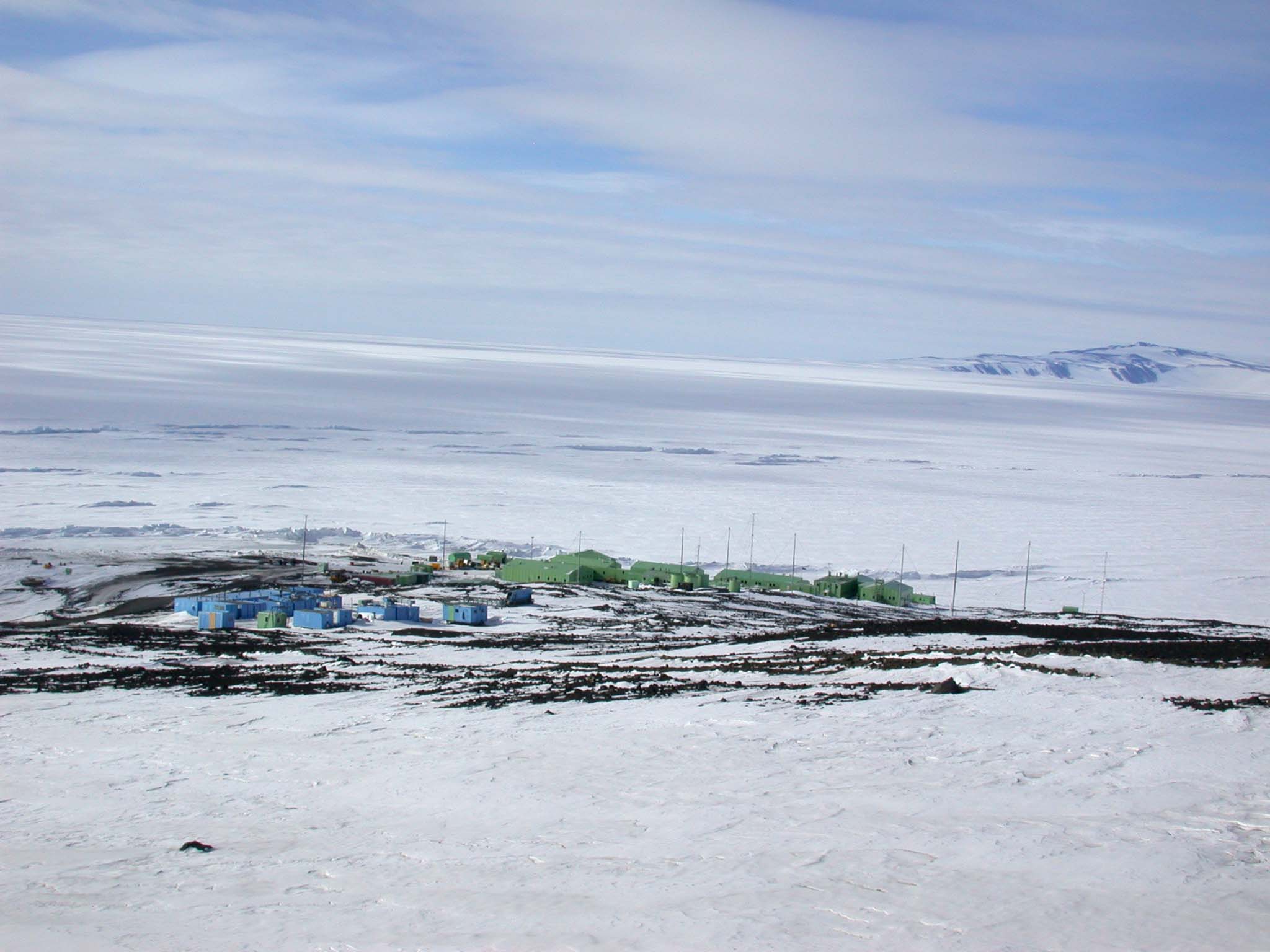
 This morning I drove out to Willy Field in the project van instead of the usual shuttle. This allowed me to take some pictures of the wonderful scenes on the way. Leaving McMurdo, we drive out through the the industrial part of McMurdo and past the fuel depot. Fuel is life or death, especially during the winter. Then we go through a pass in the ridge that runs down the length of Hut Point Peninsula. On the other side of the ridge, just a few miles from McMurdo is the New Zealand Antarctic facility called Scott Base. Quite a bit smaller than McMurdo (as is every other base in Antarctica), I hope to get over to visit at some point.
Photo on right: Scott Base, Antarctic home of Kiwis
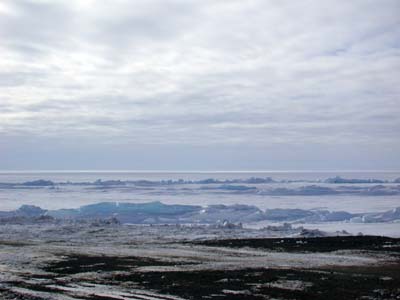 At the bottom of the hill is the "Transition". Transition is the word used for what would be the shore anywhere else. Here, with no water, it is the transition from rock to ice shelf. This is one of the bumpiest parts of the ride, because the ice moves and there are constantly ridges and cracks opening up.
Photo on left: Pressure ridges in the Ross Ice Shelf
Right along here, the motion of the shelf folds and cracks the ice in a series of "pressure" ridges. Along the road, the pressure ridges cause a series of hills that would be like a roller coaster if the speed limit were higher than 25. A little farther onto the ice shelf the ice has deformed and cracked into vertical ridges of broken ice. Some of them glow an amazing blue, the blue of glacial ice.
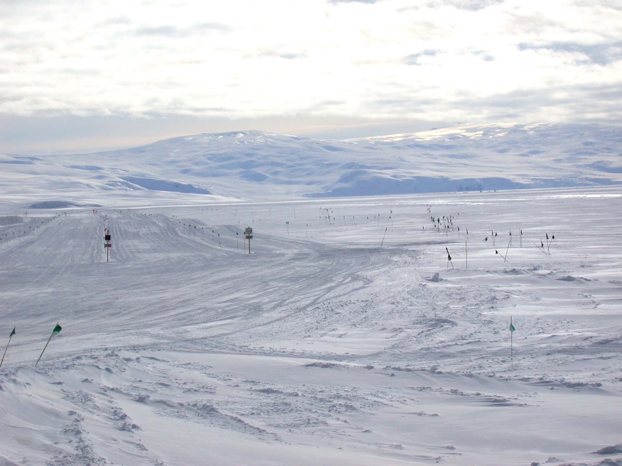
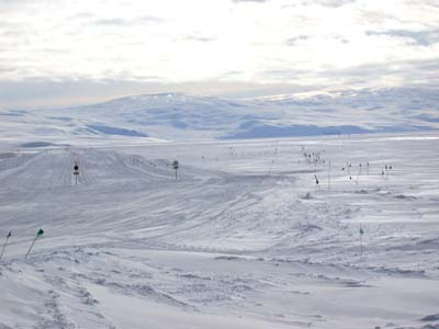 Once out onto the ice shelf, there are actually multiple parallel roads. The road requires so much maintenance because of ice movement, that they open up one path while they're working on the other ones. There are Yes/No signs on each of the paths and every morning the drivers have to find the open one for that day.
Photo on right: Ice road out to Willy Field
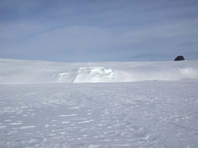 Then comes a long slow ride out along the ice, at first pretty near the glacial edge of Ross Island, then diagonally out onto the shelf past Mound City, where I took Happy Camper School. Erebus is in the distance and Castle Rock is close by. The glacier is quite smooth in some areas and sometimes a thin layer of cold snow and mist just rolls over the glacier looking like a waterfall.
Photo on left: Erebus glacier and Castle Rock
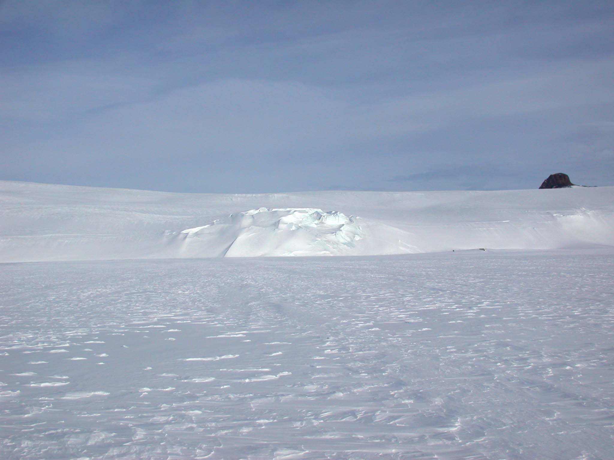
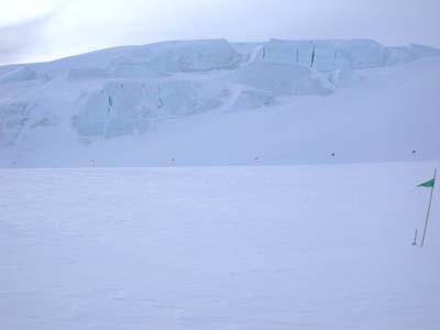 In other places, the glacier is cracked into deep crevasses in the blue ice. These areas are easy to avoid, but even in the smooth areas there can be deep crevasses capped by thin layers of snow. These areas can be extremely hazardous. But all of it is impressively beautiful.
Photo on right: Crevasses in the glacier

Dr. Eric R. Christian
Eric's Featured Scientist Profile
This page was last modified on December 19,
2002
|