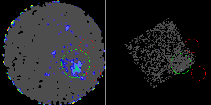
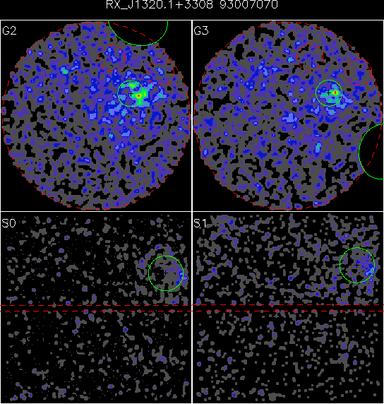
| We chose the extraction regions based on
an exposure corrected, combined GIS-2 and GIS-3
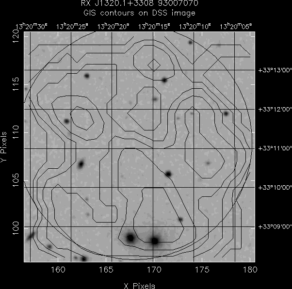
sky image. Reference sky coordinates from the
literature were used as input to a centroid
routine to determine the cluster center right
ascension and declination. A radial emission
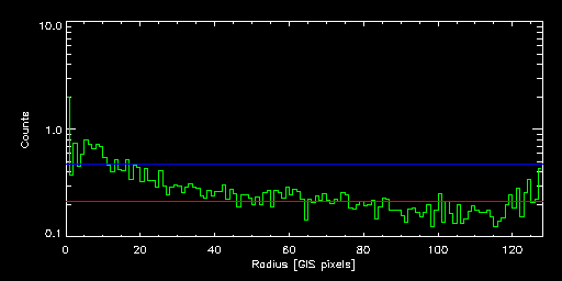
profile was then constructed from this position.
Note that this radial profile does not reflect the
true cluster profile given the complicated PSF of
the ASCA mirrors and the GIS detector. The
background (and sigma of the background) was
iterative determined by stepping inward from the
end of the profile and averaging (using a three
sigma clipping algorithm). The extraction region
was chosen to be the radius at which the radial
profile reached 5*sigma times the background
level. The radial profile is shown below. The
red line is the background level. The blue line
is the 5*sigma level. SIS extaction radii were
set at 0.70 times the GIS extraction
radius. |